

Empowering Decisions,
For a Better Future.
Geospatial intelligence for agriculture,
water resources and river ecosystems.
Decision Support System for Agriculture
The problem
Planners, agencies and insurers need field-level crop information across whole districts, every season. Field surveys are slow and costly, so crop area, crop stress and yield losses often become known only after the damage is done.
What we deliver
Satellite time series turned into crop maps, in-season health monitoring and pre-harvest yield estimates.
- Crop Mapping
- Health Monitoring
- Yield Estimation
- Risk Assessment
- Irrigation Management
- Insurance Services
How We Turn Data Into Decisions
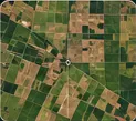
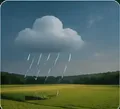
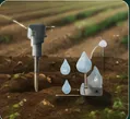
We collect satellite, drone,
weather & field sensor data

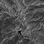
We process the data using
AI & advanced analytics
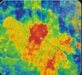
We detect crop stress,
anomalies & risks
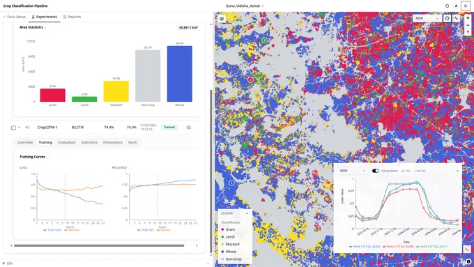
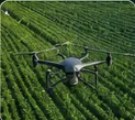
We deliver by dashboard,
file export and API
Crop Ground Truth Correction
The problem
Crop models are only as good as the field survey points they learn from. Survey records arrive duplicated, conflicting or misplaced onto field edges and roads. Checking millions of them by hand is not practical, so the errors pass straight into the models.
What we deliver
Noisy survey records turned into a clean, ready-to-use dataset. Every point that survives is corrected and paired with its field boundary and crop label.
- Cleaned Ground Truth
- Labelled Field Boundaries
- Processing Reports
How We Turn Data Into Decisions
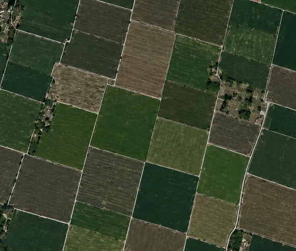
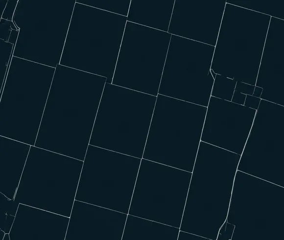
We ingest ground truth points
from field survey

We process the data using
AI & spatial analytics
We detect duplicates, conflicts
& misplaced points
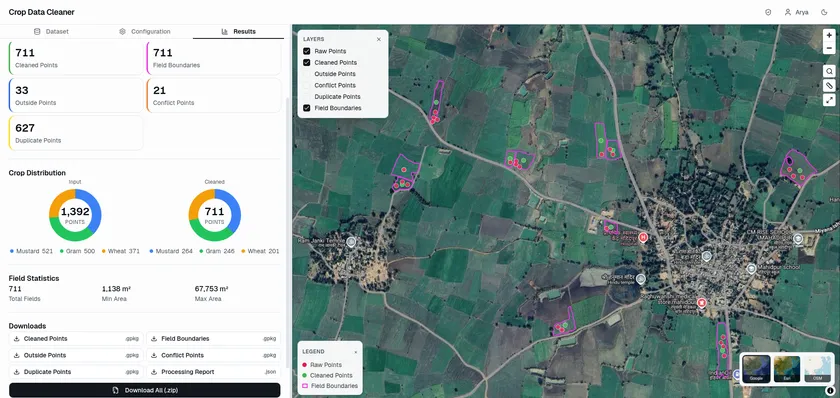
We deliver clean layers
ready to use
Riparian Zone Analysis
The problem
River banks lose their vegetation to erosion, encroachment and floods, and a bare bank makes the next flood worse. Agencies that restore a corridor must decide where planting will survive and which species to plant. Surveying tens of kilometres of bank on foot is slow and inconsistent.
What we deliver
A vegetation model of the corridor on both sides of the river, built from imagery and terrain. We turn it into planting plans and flood resilience maps that an agency can defend.
- Vegetation Probability Maps
- Species and Planting Design
- Disaster Management Support
- Reports and Analytics
How We Turn Data Into Decisions
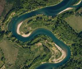
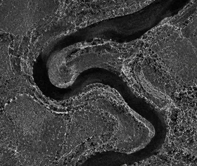
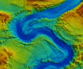
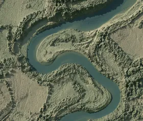
We take in imagery and terrain
for the river corridor

We train a vegetation model
on observed bank cover
We project probability across
every bank cell
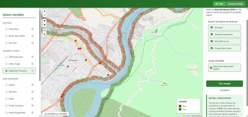
We deliver species plans
and flood resilience maps
Integrated Reservoir Management System
The problem
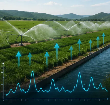
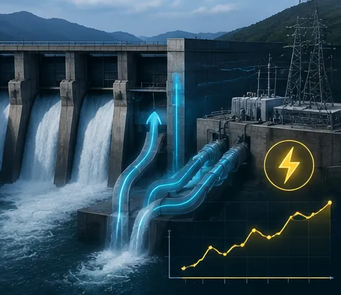
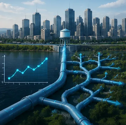
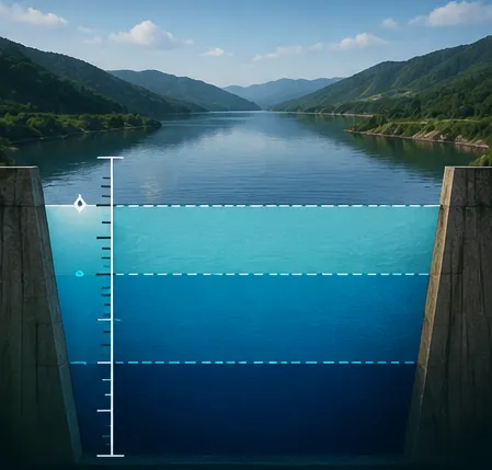
Reservoir operators must decide releases before the water arrives. They balance irrigation, hydropower and drinking water against the flood cushion. Without a reliable inflow forecast, they release too late in a flood and hold too little in a dry spell.
What we deliver
Real-time inflow forecasts for the whole basin. Every new gauge reading is assimilated as it arrives, and the forecast becomes a release schedule that balances storage, demand and flood risk.
- Real-Time Inflow Forecasting
- Forecast-Led Operation
- Data Assimilation
- Optimal Release Policy
- Extreme Event Analysis
- Reports and Analytics
How We Turn Data Into Decisions
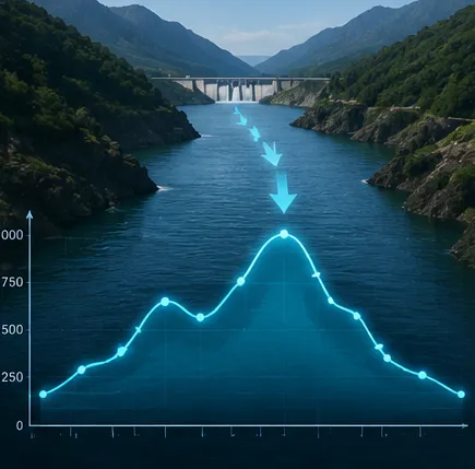
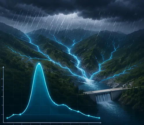
We collect streamflow, rainfall,
atmospheric and surface
variables and catchment
observations

We assimilate every reading
and run the basin forecast
We flag inflow peaks,
storage and flood risk,
with real-time alerts
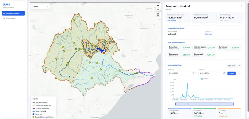
We deliver release schedules
by dashboard and API
Beyond These Four
We are also building
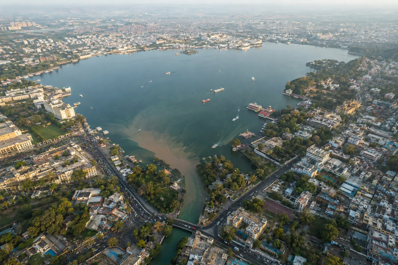
Lake Monitoring
Continuous tracking of water-body extent, storage and quality: turbidity, sediment and algal blooms across the seasons.
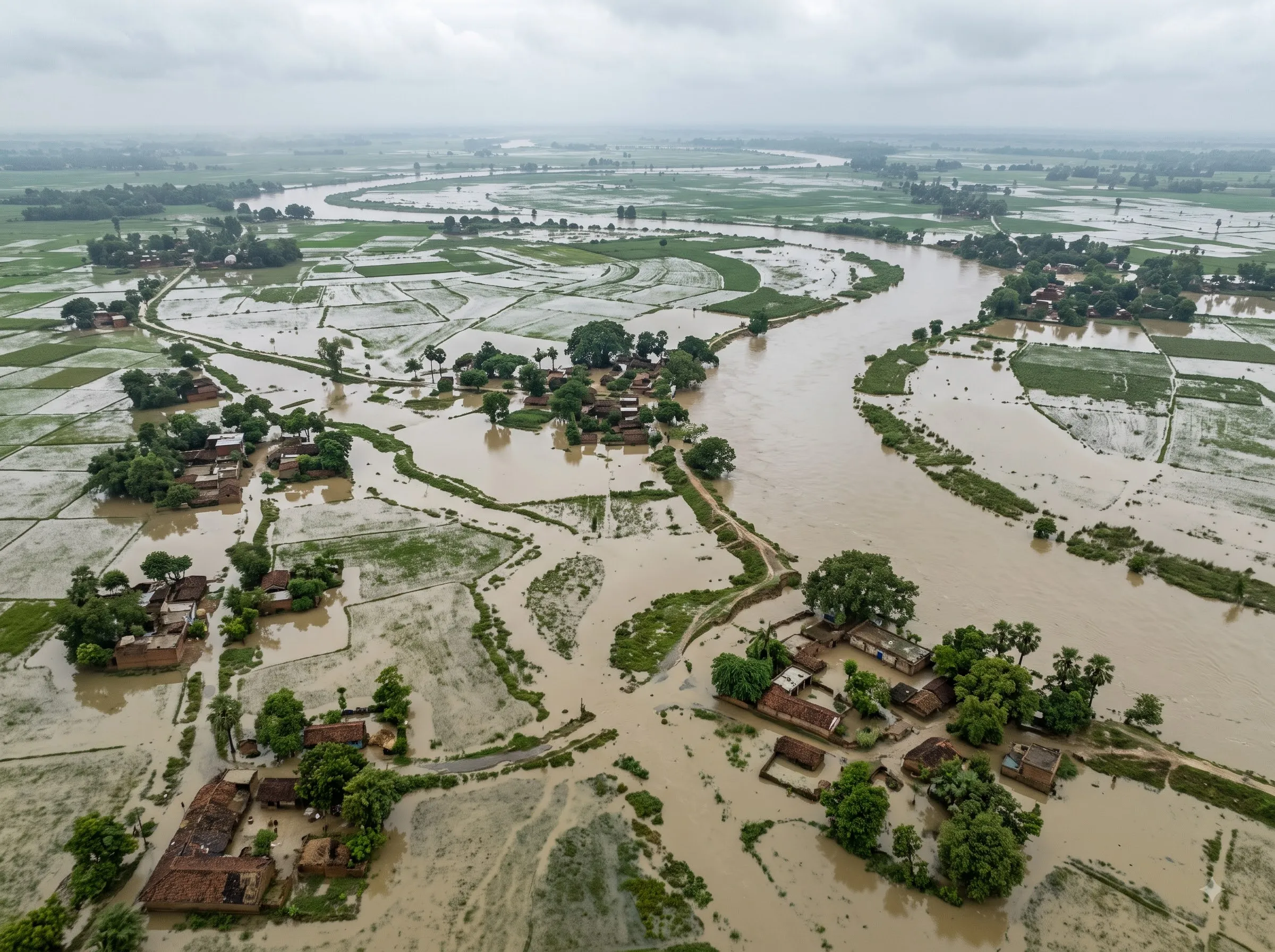
Hydrodynamic Modeling
Simulation of flow, water levels and inundation across rivers and floodplains, for flood mapping and infrastructure planning.
Ways to work with us
Product licence
Deploy our products on your regions and your data.
Custom pipelines
We build a geospatial AI pipeline to your specification.
Processing services
We take on imagery processing, analysis and model runs for your projects.
Co-development
We build new products together with your teams.
Our Team
Advisory Board

Dr. R. Maheswaran
Research & Technical Advisor
rmaheswaran@ce.iith.ac.in

Dr. Shruti Upadhyaya
Research & Industry Advisor
shrutiau@ce.iith.ac.in
Founder Team

S. Siva Kali Kiran
Co-Founder & Project Lead
sivakalikiran123@gmail.com

Arya R.
Co-Founder & AI Lead
aryageowork@gmail.com
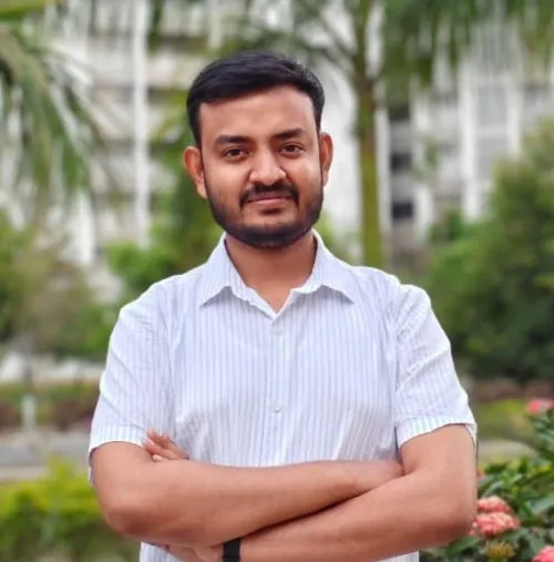
Sreevisal G.
Co-Founder & Tech. Lead
sreevisalgireesh@gmail.com
Thank You
Let's build together, for a better future.
- hello@spatiora.com
- Hyderabad, India